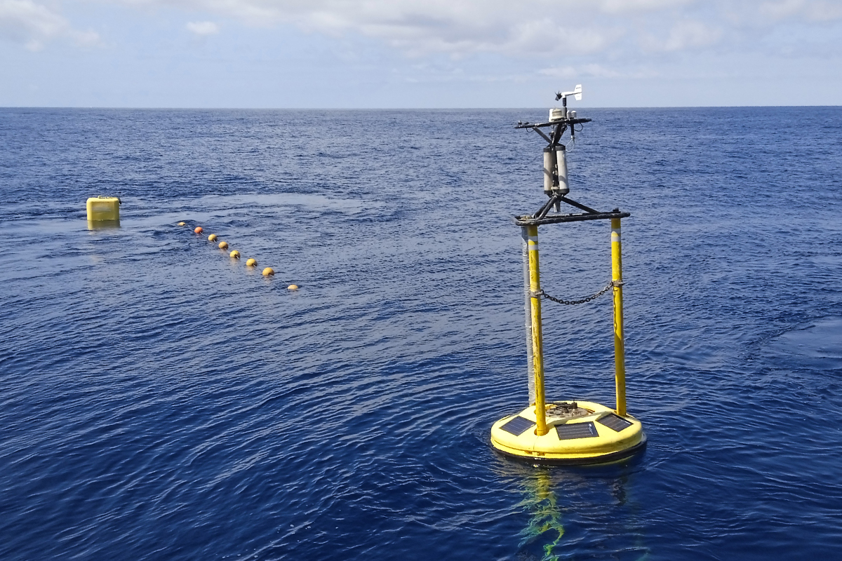
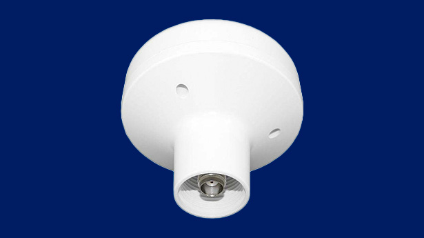
With the aim of strengthening its contribution to ocean observing system, in June 2007 the Spanish Institute of Oceanography (IEO) deployed the AGL ocean-meteorological buoy in offshore waters of the Bay of Biscay. This buoy is unique in the region due to its suite of biogeochemical sensors.
Discover the data provided through the measurements collected by the AGL buoy.
The AGL buoy, named in honor of Don Augusto González de Linares, founder of the Santander Marine Biology Station in 1886, was deployed on July 27, 2007 off the coast of Santander at position 43°50′N, 3°47′W, over a depth of 2,878 m. It is equipped with meteorological and oceanographic sensors. Data are transmitted hourly to the oceanographic center and via the Global Telecommunication System (GTS) to the World Meteorological Organization (WMO), where they are used and assimilated into meteorological, oceanographic, and climate prediction models. Moreover, its data are carefully calibrated, and quality controlled data are made also free available.
Technical specifications
ODAS Platform
On board Data Acquisition System, seawatch type
The metal structure is constructed of ocean-grade aluminum (resistant to marine corrosion) and consists of three parallel, 6-meter-long spars joined at their ends by frames housing some of the instruments, and in the middle by a lenticular structure surrounded by the fender. A visible plaque indicates the IEO's ownership and emergency telephone number.
Dimensions and Weight
Diameter including fenders: 1.7 m Weight: 710 kg Overall length: 8.6 m Buoyancy: 1,400 kg
Power Supply System
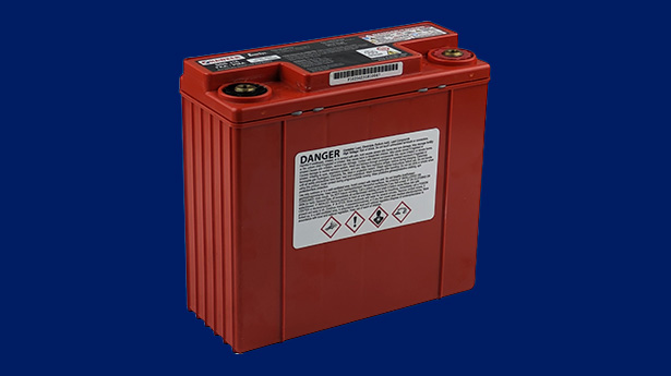
Maximum output current: 10 A Maximum battery and solar panel input voltage: 21 V Maximum charging current: 7.5 A Battery charging at a lower potential difference: 0.5 V Charging voltage range: 10.7–20 V Dimensions: 235 × 190 × 155 mm Weight: 3 kg
Processing and Storage Unit
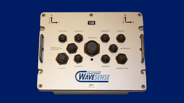
Storage memory: 28 MB Microprocessor: 33 MHz Real-time operating system Data acquisition software Operating voltage: 7 to 40 VDC Dimensions: 177 × 133 × 111 mm Weight: 2.4 kg 16 analog inputs and 17 digital inputs for sensors
Ocean Tracker
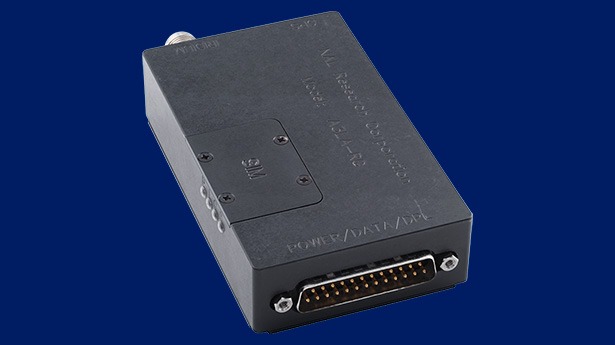
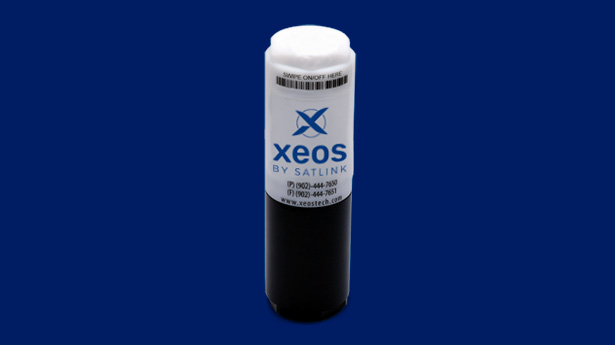
Transceiver modem on buoy and shore station
The buoy measures and transmits, in real time, the meteorological and oceanographic data it records, providing up-to-date information on marine environmental conditions. In addition, these data can be assimilated into weather forecasting and sea-state prediction models. To achieve this, the buoy is equipped with a transmission modem installed inside the buoy, which sends data via satellite. A shore-based receiving station (essentially a computer and a server) receives the transmitted data and enables its distribution to other locations for further use and analysis.
Mooring Structure
Mooring Line
The mooring line consists, at its deepest section, of a few meters of chain, followed by a combination of high-strength synthetic ropes (floating and no-floating ropes, respectively) with a total length between the two of 3,550 meters. In the upper part there is a 300 meter long cable connected to a 15 m long chain joined to a surface buoy that maintains the mooring. This section is connected to the AGL buoy by an hybrid line of cable with trawl floats and elastomer.
Anchor System
The anchoring system consists of a seabed ballast made up of 4 railroad wheels (approx. 1,250 kg total weight), connected by about 10 meters of chain to an anchor that secures the entire mooring assembly.
Mooring
Mooring Date
Recovery Date
Reason
Mooring
FONDEO 01
Acoustic release
FECHA FONDEO
13/08/2023
FECHA RECUPERACIÓN
06/11/2023
MOTIVO
Rotura fondeo. Rescate en Lège Cap-Ferret (Francia)
FONDEO
FONDEO 02
Acoustic release
FECHA FONDEO
04/09/2024
FECHA RECUPERACIÓN
20/10/2024
MOTIVO
No transmisión de dato
Sensors
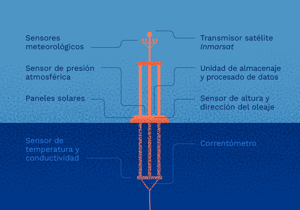
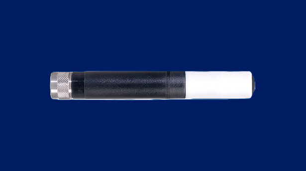
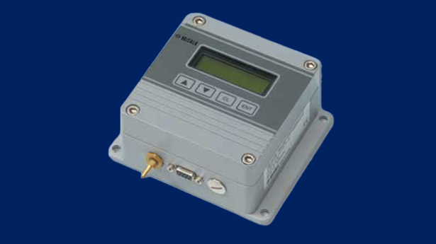
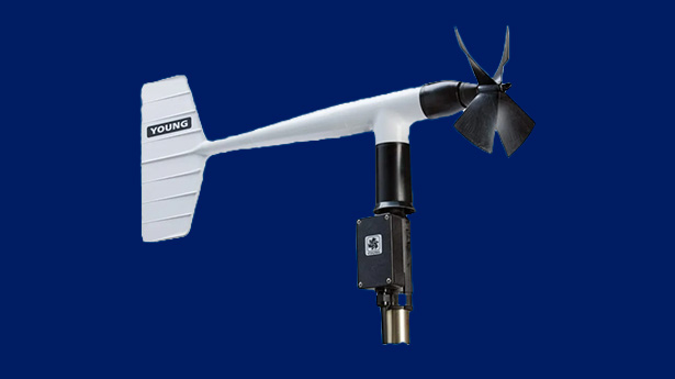
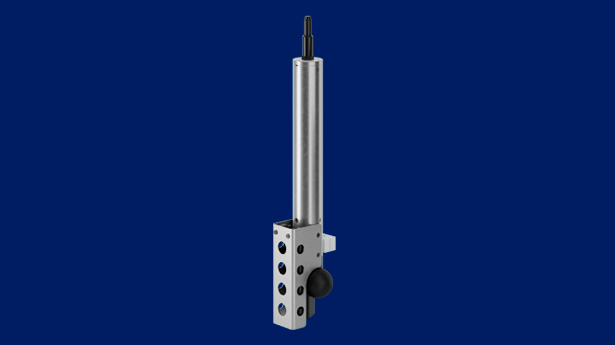
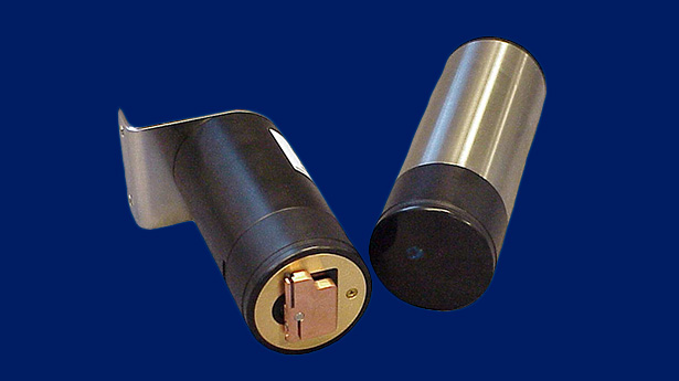
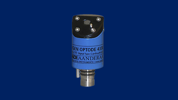
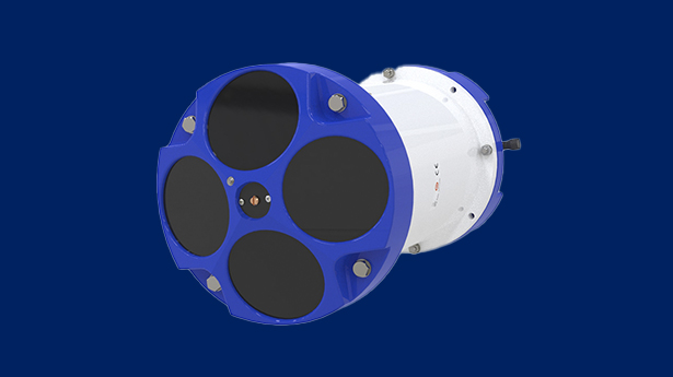
The AGL Buoy is equipped with three main categories of sensors: general operation sensors, meteorological station sensors and oceanographic station sensors. Each category includes a range of instruments that measure key atmospheric, oceanographic, and biogeochemical parameters. Detailed specifications for each sensor are provided in the table below.